40 CORRECTED WW2 1930-36 Historical Weather Maps RESTRICTED MILITARIA U. S. Army

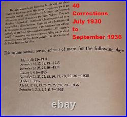
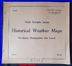


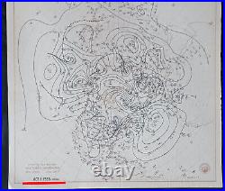
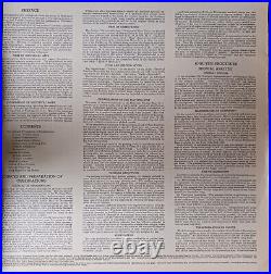

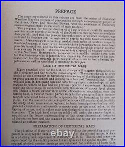
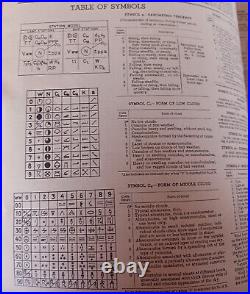


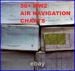


How Weather Has Won Every Major World War. Weather Can Be The Greatest Component of Military Success. Collection of 40 Weather Maps of the Northern Hemisphere. Correction of Previous “ERRATA” (Errors) and Revised. Range from July 1930- September 1936. Inspired/Printed During World War 2. Issued By The United States Navy, Army U. This Information if available, is exclusively Online. For Sale Here are original wartime publications. Was Not Yet at War, our allies were. All information, including weather was Classified. ” Not Transferable For Official Use Only, “. Pre-WORLD WAR 2 Corrected dates. 1930 July 13, 29, 31. 1936 July 16-19, 25-39. Publication History These daily synoptic weather maps are from the series of historical weather maps prepared initially through a cooperative project of the Army Air Force and the U. Weather Bureau, with the assistance of several university meteorological staffs. Later, the maps were prepared by the U. Weather Bureau in cooperation with the Army, Navy, and Air Force, as well as the many National Meteorological Services of the countries shown on the maps. For a general understanding of synoptic meteorology, refer to this webpage provided by the National Weather Service. Rare Book & Archival Material Which The NOAA CLAIMS to have. The NOAA Central Library hosts a collection of rare books and archival materials for use by researchers in our library. Below is a sampling of some rare and archival materials that are available online. NOAA sells PDF’s. Here Are Original Documents. You will receive the item pictured. Charts/Maps Like These Were Likely Used By the U. F B-17F Flying Fortress Bombers, which are mentioned, as we have available. DOZENS Of Maps/Volumes Available. Similar Weather maps &. 100 WW2 AND LATER AIR NAVIGATION CHARTS. DC-8 (Training and reference manual). DC-6 Flight Training manual. B-720 (BLACK) Training Manual. BROWN CU-340 Training Manual. As Always, Thanks For Looking. WE WANT YOU TO BE HAPPY.
